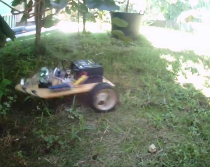
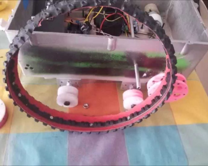
Using Lidar technology like those found in self driving cars to replicate its surroundings. The data is sent to a Java program I developed and gets converted from spherical to cartesian points. The points get rendered together to make a 3D model of the surroundings. Source Code: https://create.arduino.cc/projecthub/TravisLedo/arduino-lidar-scanning-java-rendering-6b2124 https://github.com/TravisLedo/LidarScanRender MoreContinue Reading

For more details visit http://www.ardumower.de -Das Video wurde 3x schneller gedreht -Dies ist KEINE ebene Fläche, sondern eine Hügelfläche mit Gefälle – ohne Kompaß würde der Roboter hier ständig vom Kurs abkommen (kreuz und quer fahren) -Alles OHNE Odometrie, daher noch der zufällige Rasenversatz -In den (noch zu langen) PausenContinue Reading